| Wukoki 1150 AD: Reconstructing Ruins |
Keyframe 32 Supplement |
| World Construction Set 6 & LightWave 7.5 |
Terrain Data
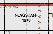
Name: Flagstaff East and Flagstaff West (Arizona) compressed
files
Coverage: 1º latitude x 1º longitude
Resolution: 90 m
Data Type: USGS ASCII DEM, geographic coordinate system
Source: http://edc.usgs.gov/bin/dem250?DEM/250/F/flagstaff
Cost: none
Copyright Restrictions: none
Name: Gray Mountain, Wupatki NE, Wupatki SW, Wupatki
SE:; Coconino County, AZ
Coverage: 7.5' latitude x 7.5' longitude
Resolution: 10 m
Data Type: USGS SDTS DEM, UTM coordinate system
Source: http://www.gisdatadepot.com/dem/demdownload.html
|
This link will take you to the GIS Data Depot USGS DEM Resources page. Select Arizona from the USA map. On the United States - Arizona - Countywide Data page, choose Coconino. On the Coconino County, Arizona, United States page, select the Digital Elevation Models (DEM) - 24K link. The DEMs are listed alphabetically. If both 10-m and 30-m data are available, download the 10-meter data. I suggest you rename the downloaded files according to quad and resolution, e.g., Gray Mountain AZ 10m.tar.gz. Leave the .tar.gz extension so WinZip knows to ungzip and untar the archive. To prevent WinZip from corrupting the data, go to Options > Configuration > Miscellaneous and deselect TAR file smart LR/LF conversion. |
Cost: none
Copyright Restrictions: none
Additional Tutorials
Digital Raster Graphics (DRGs)
These are digital versions of
USGS topo maps you may be familiar with. They match the 10-m
USGS SDTS DEMs by the same name.
Decollared images have the border removed.
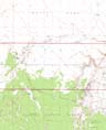
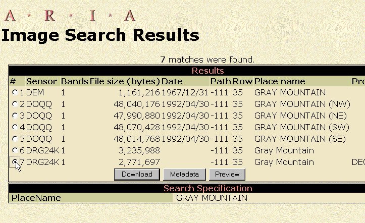
Name: Gray Mountain, Wupatki NE, Wupatki SW, Wupatki
SE:; Coconino County, AZ
Coverage: 7.5' latitude x 7.5' longitude
Data Type: DRG
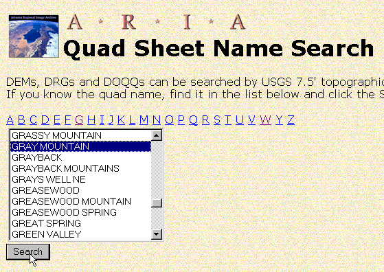
Source: http://aria.arizona.edu/search/QuadName
|
Download the DECOLLARED
version of the DRG24K 'Sensor'. Name files for the quad
and file type, e.g., Gray Mountain DRG DC.tif
|
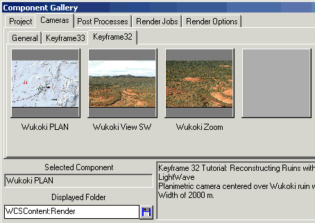
Components
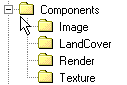
Components.zip contains the following WCS Components and images. Copy the unzipped contents to your WCS\Components folder.
Cameras
Wukoki Plan
Wukoki View SW
Wukoki Zoom
LandCover > Ground Effects
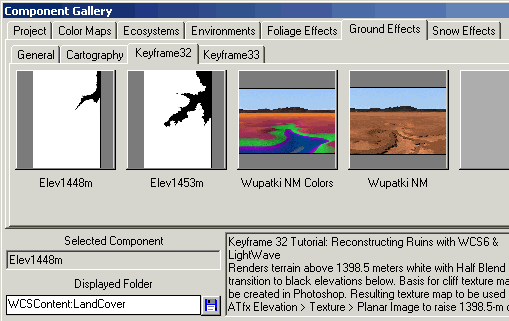
Elev1448m (Elev1448m.gnd)
Elev1453m (Elev1453m.gnd)
Wupatki NM Colors (Wupatki NM Colors.gnd)
Wupatki NM (Wupatki NM.gnd)
LandCover > Ecosystems
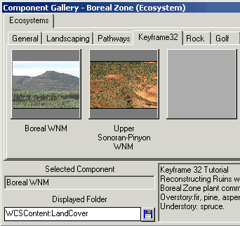
Boreal Zone Ecosystem (Boreal
WNM.eco)
Upper Sonoran-Piñon Zone Ecosystem (Upper Sonoran-Pinyon
WNM.eco)
Texture
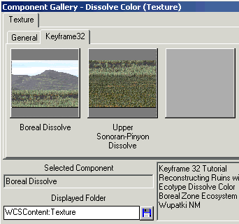
Boreal Dissolve Texture (Boreal
Dissolve.rtx).
Upper Sonoran-Pinyon Dissolve Texture (Upper Sonoran-Pinyon Dissolve.rtx)
Image
Planar Images for Area Terraffector Textures
Elev1448.iff
Elev1453.iff
Figures
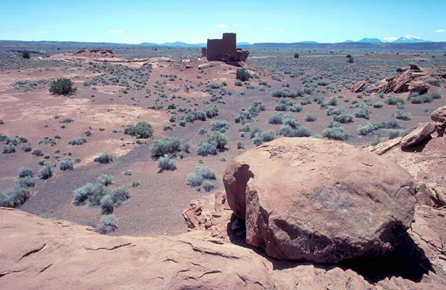
Figure 1
Figure 2
Figure 3
Figure 4
Figure 5
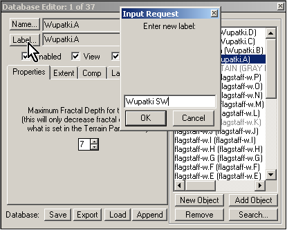
Figure 6
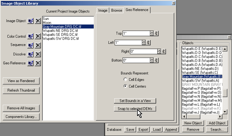
Figure 7
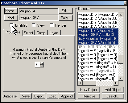
Figure 8
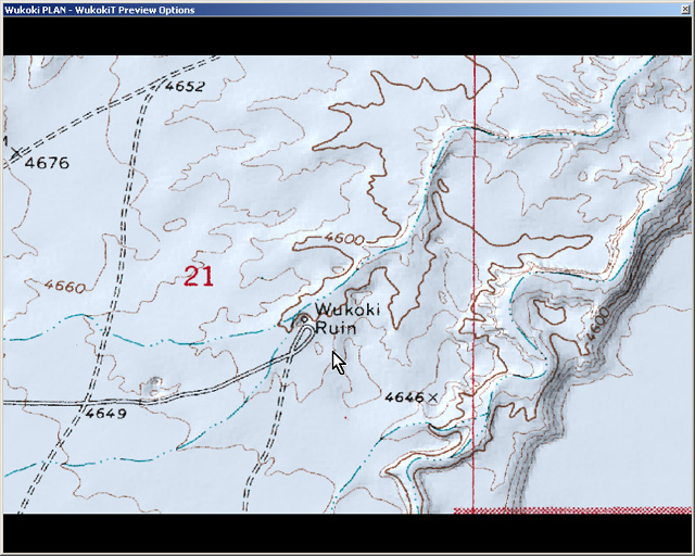
Figure 9
Figure 10
Figure 11
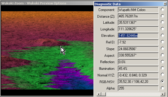
Figure 12
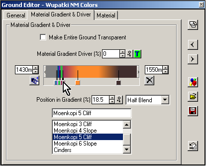
Figure 13
Figure 14
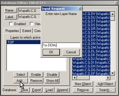
Figure 15
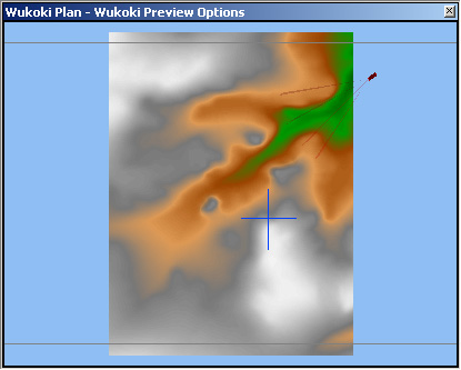
Figure 16
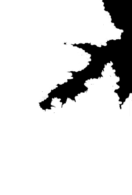
Figure 17
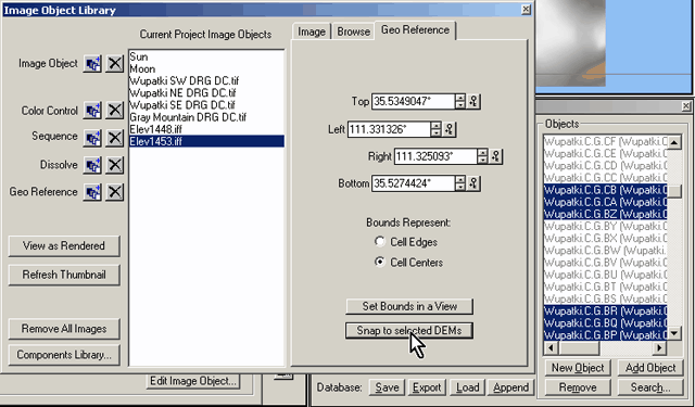
Figure 18
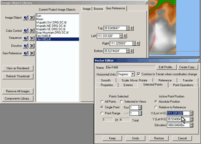
Figure 19
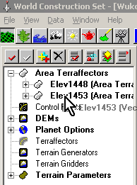
Figure 20
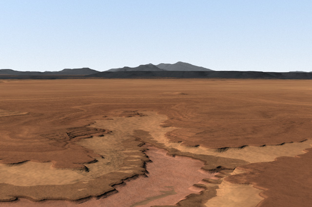
Figure 21
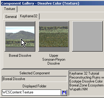
Figure 22
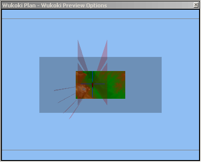
Figure 23
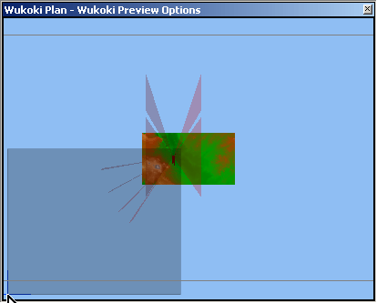
Figure 24. Oops! This is the correct image for this figure.
Figure 25