|
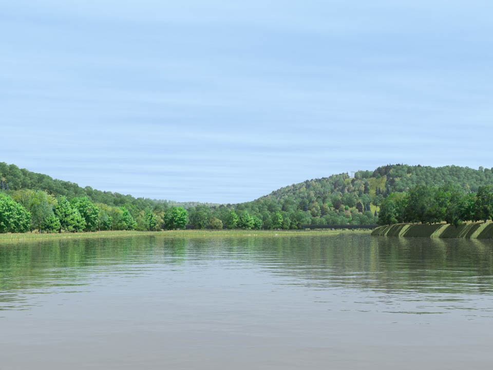
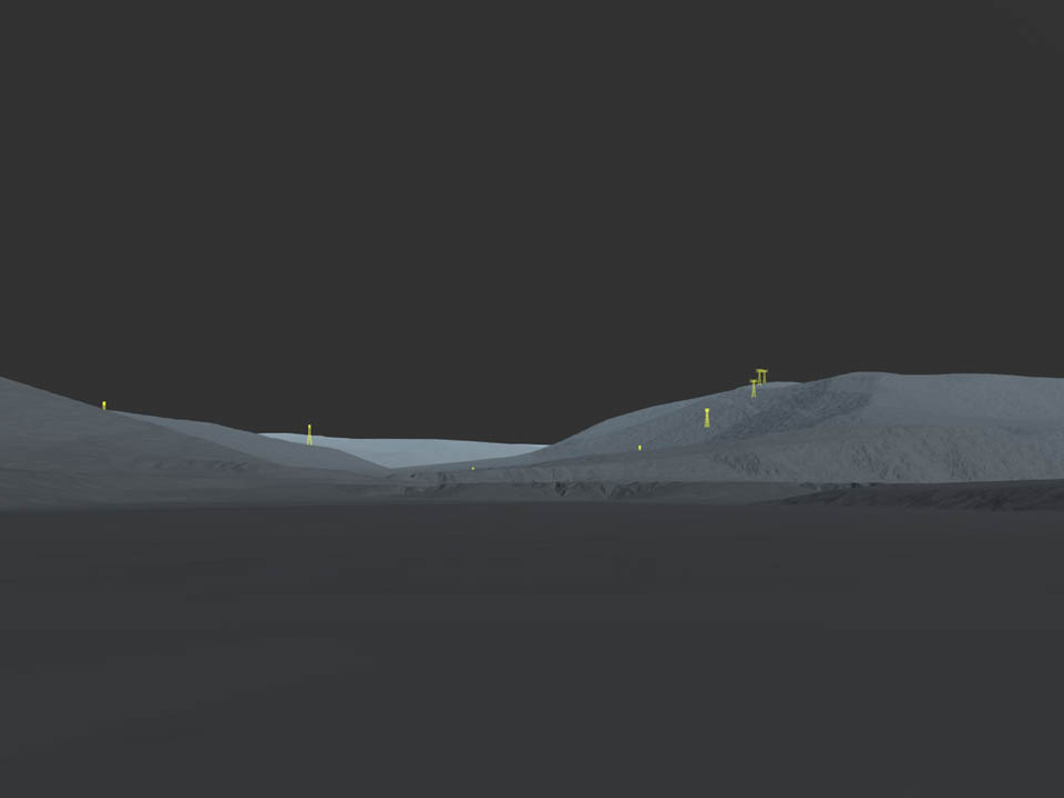
A series of visualizations of the
Upper Delaware Scenic and Recreational River were prepared for
the National Parks Service and The Upper Delaware Scenic Byway.
.The visualizations illustrated the planned
path of New York Regional Interconnect's 190-mile HVDC transmission
line from Oneida County to Orange County. .Using
reference photos and GIS data of terrain and vegetation, "photosimulations"
of the proposed alignment showed the transmission towers from
critical viewpoints. .Paired photorealistic images and matching
reference images (containing only brightly-colored towers on
a neutral featureless terrain) allowed viewers to evaluate the
visual impact of the planned transmission line. |